As the sun sets on Chicago on Tuesday, March 10, 2026, residents are bracing for a night of severe weather. The city, known for its unpredictable climate, is under multiple weather watches and warnings, making for a tumultuous evening.
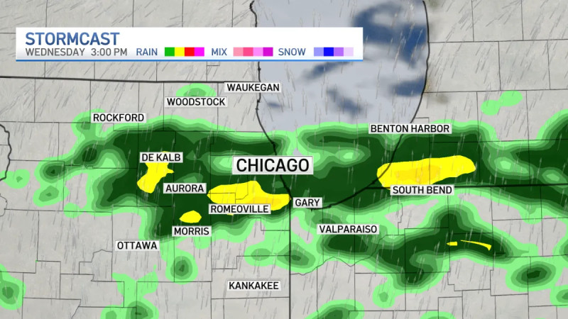
Tornado Watch, Flood Watch, and Severe Thunderstorm Watch are all in effect through the rest of Tuesday night as severe storms move in. The National Weather Service has issued a Tornado Watch for some south suburbs and NW Indiana, adding to the list of weather hazards that include two-inch hail, winds gusting as high as 70 mph, and heavy downpours. The conditions are a stark reminder of the city's nickname, the "Windy City," but this time, it's not just the breeze that's causing concern.
Monday night was relatively mild, with temperatures dropping to around 50°F and winds from the southwest at 5-10 mph. However, Tuesday brought a noticeable cool-down, with considerable cloudiness and more severe conditions on the way. The stormy weather is expected to persist, with hazardous conditions extending into the early hours of Wednesday morning.
Residents and visitors alike are advised to stay indoors and avoid unnecessary travel as the severe weather rolls through the city. The weather service has warned of potential flooding, high winds, and even tornadoes, making it a night to stay vigilant.
As the city weather the storm, it's a good time to reflect on the resilience of Chicago residents who are no strangers to extreme weather conditions. The city's infrastructure and emergency response teams are well-prepared to handle such events, ensuring the safety of its inhabitants.
For those looking ahead, the weather forecast for the coming days includes a mix of cloudy and sunny periods, with temperatures fluctuating but generally remaining mild for this time of year. As always, it's essential to stay tuned to local weather updates for the most accurate and timely information.