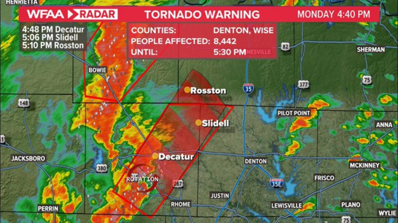
Dallas faces a multi-day severe weather threat with damaging winds, large hail, and isolated tornadoes possible through Easter weekend. Saturday’s storms brought early morning thunderstorms and localized flooding risks, particularly north and west of the DFW area. A stalled front could fuel strong afternoon storms with hail up to golf-ball size.
Live radar shows scattered showers weakening midday, but a second round of severe weather is expected overnight into Sunday morning. The Storm Prediction Center has elevated central Texas to a Level risk for large hail, while million remain under a Level threat spanning Dallas to southern Missouri.
Easter Sunday’s forecast includes pre-dawn storms moving rapidly northeast, clearing by afternoon for holiday activities. However, meteorologists warn of a "significant" severe weather potential Sunday across Missouri and Arkansas, with Dallas on the southern edge of the threat zone.
Residents should monitor live radar for real-time storm tracking and prepare for possible power outages. Next week’s outlook shows continued rain chances, with daily thunderstorm risks from Tuesday onward.


