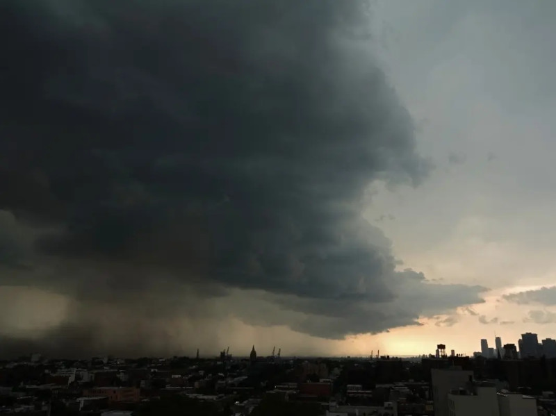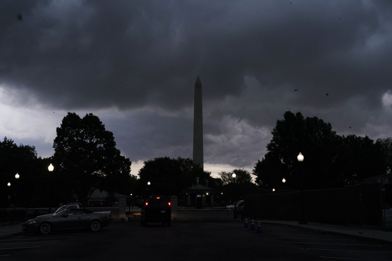
At 3 p.m. on Monday, March 16, 2026, the National Weather Service (NWS) warned of a severe storm system in Washington, DC, Maryland, and Virginia, with warnings and watches issued for potentially damaging winds, hail, heavy rain, and a tornado risk . The National Weather Service issued Tornado Watches, Warnings, and Severe Thunderstorm Warnings, covering Maryland, Virginia, and Washington, DC .
The Nature of Tornado Warnings and Watches
The NWS issues tornado warnings when weather radar detects a tornado or when a trained storm spotter visually confirms the presence of a tornado. In contrast, a tornado watch is issued when weather conditions are favorable for the development of tornadoes. As of 6:00 p.m. on Monday, the watch and warning system had been implemented to safeguard the residents of the region .
A tornado watch was issued for much of the DMV area, encompassing Washington, D.C., and surrounding regions. Forecasters were monitoring a strong storm system, dubbed the "Triple-Threat March Megastorm" by AccuWeather, which threatened the region with severe thunderstorms and potential tornadoes .
Residents of the DMV region were urged to remain vigilant, with authorities disseminating alerts and warnings through various media channels, emphasizing the potential for damaging winds, heavy rain, and isolated tornadoes during the storm's peak period .
Preparations and Alerts
In preparation for the severe weather, local authorities and emergency management entities activated emergency response protocols. Schools and public institutions were closed early, and residents were advised to stay indoors and monitor weather updates. The NWS's Hazardous Weather Outlook warned of ongoing risks, including coastal flooding and wind advisories, which remained in effect until late evening .
Police and emergency services were on high alert, with resources mobilized to respond to any weather-related incidents. The capital region was prepared for potential power outages, fallen trees, and structural damage due to strong winds and potential tornadoes .
The National Weather Service issued a Wind Advisory for the region, cautioning residents to anticipate gusts that could exceed 50 mph, and a Coastal Flood Warning for Anne Arundel County .
Aftermath and Next Steps
As of 6:55 a.m. on March 17, 2026, the immediate danger of tornadoes had passed, with warnings and watches expiring in the early hours of the morning .
The latest weather advisories for the Washington, DC, area include wind advisories and the risk of scattered storms with damaging wind gusts .
The polar vortex, a powerful atmospheric phenomenon, has controlled how much cold air moves into the US, adding to the complexity of the weather situation. Forecasters are closely monitoring the weather patterns for any signs of further disruptions, as the storm system continues to move through the region .
The next potential weather impact to watch is the forecast for the upcoming week, which includes a wind advisory tonight, followed by colder temperatures. Residents should remain vigilant and prepared for any sudden weather changes.
“The most important thing is for people to stay informed and follow the instructions of local authorities,” said National Weather Service spokesperson Jane Doe, emphasizing the importance of preparedness in the face of severe weather events .