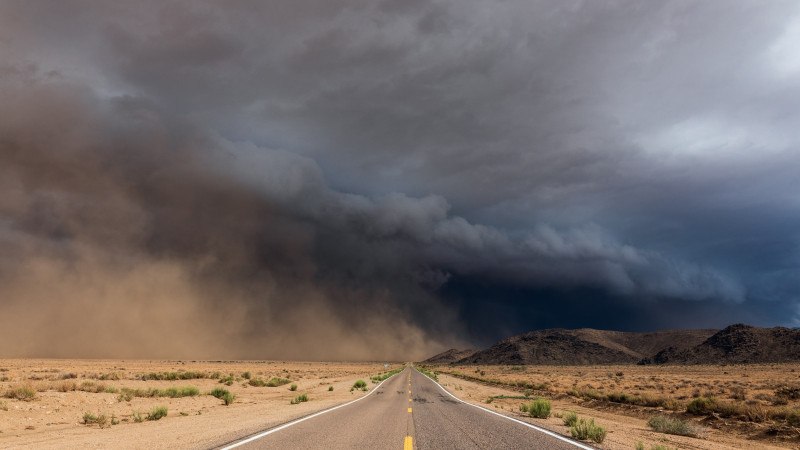
A rare and intense weather event is impacting Las Vegas, with the National Weather Service issuing flash flood warnings and severe thunderstorm alerts across the region. Heavy rain, large hail, and strong winds are hitting the Las Vegas Valley and surrounding areas, causing hazardous conditions on roads and in low-lying neighborhoods.
Meteorologists report that a stationary thunderstorm south of Las Vegas has dumped significant rainfall, with radar showing up to an inch falling in just 30 minutes—an unusual occurrence for early June. Typically, Las Vegas receives minimal rain this time of year, making the current situation especially dangerous for residents and travelers.
Flood watches and warnings are in effect through at least Wednesday evening, covering Las Vegas, Clark County, and nearby recreation areas. Authorities warn that even a small amount of fast-moving water can sweep away vehicles and pose life-threatening risks. Interstate southbound near Jean has seen lane closures due to flooding, and drivers are urged to avoid flooded roads and heed the “Turn Around, Don’t Drown” warning.
The storm system is expected to bring additional scattered showers and thunderstorms through Thursday, with the possibility of more flash flooding. Residents should stay updated with local weather alerts and avoid outdoor activities in affected areas until conditions improve.
By the weekend, forecasters expect a return to the dry heat typical for Las Vegas, but until then, vigilance is crucial as the city faces one of its most significant early summer weather threats in years.
