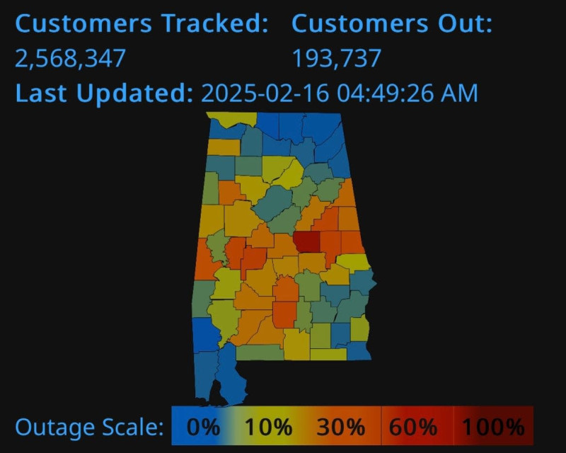
A Severe Thunderstorm Watch remains in effect across much of Alabama, with damaging winds, heavy rain, and hail causing widespread power outages and property damage throughout the state.
Storms Bring Down Trees, Power Lines, and Cause Outages.
Multiple rounds of severe thunderstorms swept through central and northern Alabama, producing wind gusts up to 70 mph and penny-sized hail. The storms have downed trees and power lines in at least ten counties, including Blount, Cherokee, Cullman, Jefferson, Lamar, Shelby, St. Clair, Talladega, Walker, and Winston, resulting in significant power outages for Alabama Power customers.
Where the Storms Are Hitting Hardest.
The National Weather Service issued repeated warnings for areas including Birmingham, Hoover, Gadsden, Tuscaloosa, and Huntsville, urging residents to seek shelter and stay away from windows as storms move rapidly east at speeds up to 65 mph Roof, siding, and tree damage have been reported, and mobile homes and outbuildings are especially vulnerable.
What to Expect Next.
Forecasters warn that additional rounds of storms are likely through Monday, with the potential for more damaging winds and hail Rainfall totals could reach 1-3 inches, with some areas seeing even higher amounts, increasing the risk of localized flooding The severe weather threat is expected to decrease later in the week, but heavy rain and scattered thunderstorms will remain a concern.
Stay Informed and Prepared.
Alabama Power crews are working to restore electricity as quickly as possible. Residents are urged to monitor local alerts, avoid downed power lines, and be prepared for additional outages as storms continue to impact the region.
