Landspout Tornadoes: A Weather Phenomenon Hits South-Central Kansas

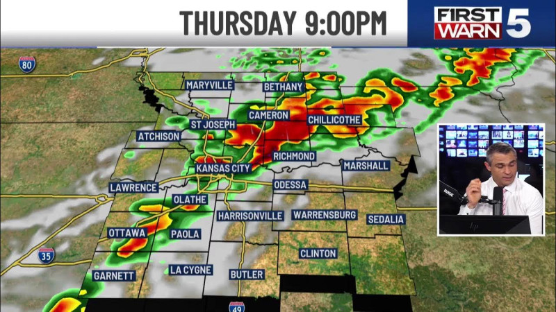
In the fluorescent glare of the briefing room, the weather map painted a stormy picture. South-central Kansas braced for another round of severe weather, as storm systems moved across the region, bringing with them a mix of rain, hail, and a peculiar weather phenomenon — landspout tornadoes. These tornadoes, though not as powerful as their supercell cousins, have a unique formation process and can still wreak havoc on the landscape.
Understanding Landspouts: The Science Behind the Phenomenon
Landspouts are a type of tornado that forms under different atmospheric conditions compared to the more familiar supercell tornadoes. Unlike supercell tornadoes, which require a rotating thunderstorm (mesocyclone), landspouts form from the ground up, often from a pre-existing dust devil or other small-scale rotating vortices. The key to their formation is the presence of a horizontal vortex that becomes tilted and stretched vertically, often due to converging winds near the ground.
These weather events are not uncommon in Kansas, a state known for its volatile weather patterns. The National Weather Service in Wichita issued alerts for severe storms, warning of 2-inch hail, damaging winds up to 70 mph, and the possibility of tornadoes. The landspout tornadoes, while less intense, are a reminder of the unpredictable nature of Kansas weather.
Most of the landspout tornadoes are relatively weak, typically rated as EF0 or EF1 on the Enhanced Fujita scale. However, their speed can exceed 70 mph, making them a threat to property and livestock.
On April 23, 2026, a video captured the sight of a landspout tornado near Burns, Kansas. The footage, shared on Instagram, showed the twister forming and moving across the landscape, a stark reminder of the region's weather volatility.
Storm Trackers in Action: Wichita's Weather Teams on Alert
In the hum of phones buzzing in pockets, the KAKE First Alert Weather Team and KSN's Storm Track 3 were in constant communication, updating residents with live radar and severe weather alerts. The KAKE Interactive Radar allowed residents to track storms in real-time, adding an extra layer of safety and preparedness.
The National Weather Service in Wichita highlighted the importance of staying informed and vigilant, especially when severe weather is on the horizon. "We've had scattered thunderstorms moving through the area, and while most of these storms are primarily bringing rain and hail, we've seen some of them produce landspout tornadoes," said a weather specialist. "These tornadoes can form quickly and without the usual supercell warning signs, so it's crucial for everyone to stay alert and follow any safety advisories issued."
The KWCH Storm Team, known for their 24/7 weather coverage, provided continuous updates, keeping residents informed about the storm's progression and potential hazards.
The weather event in south-central Kansas serves as a reminder of the ever-present threat of severe weather in the region. The landspout tornadoes, while less intense, underscore the importance of preparedness and staying informed during stormy weather. It is not the first time the region has been hit by such phenomena, and it surely won't be the last. Just as the tornadoes of 1936 swept through, leaving behind a trail of destruction and a community forever changed, the landspout tornadoes of 2026 serve as a historical parallel, reminding us of the relentless and unpredictable nature of weather in this part of the country, and the resilience of its people.
How does this story make you feel?
 Up next · WorldUnpacking KCTV5 Weather Updates: Your Complete Guide for Today