Spokane Wildfires: The Old Trails Fire Crisis, August 2026
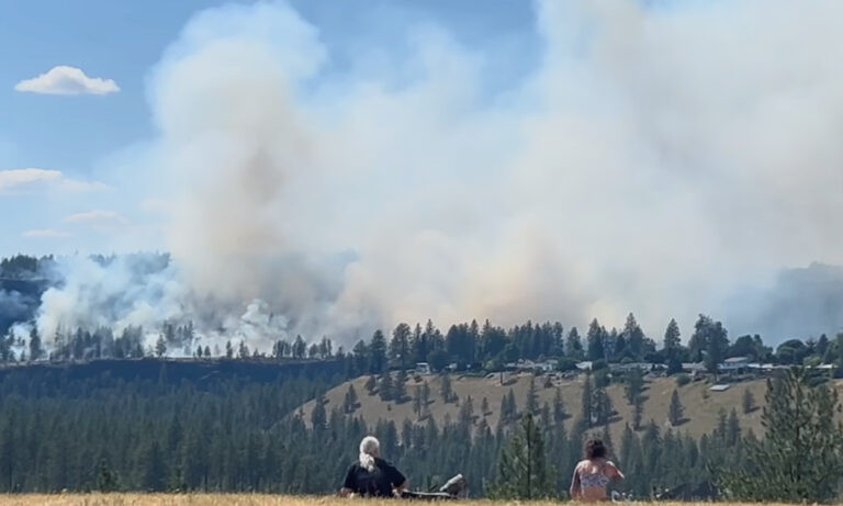
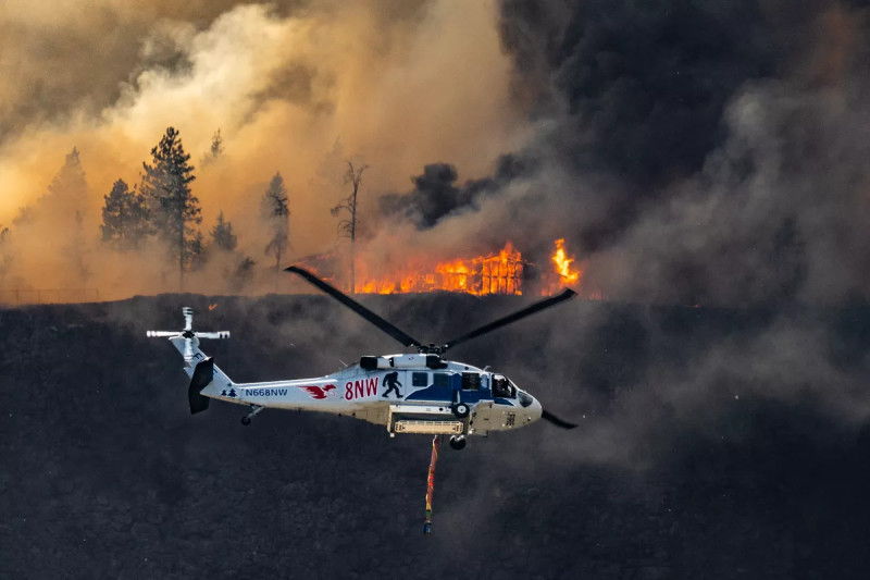
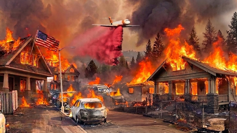
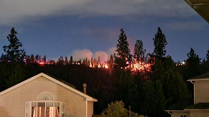
On August 1, 2026, Spokane, Washington, awoke to a fire storm. The Old Trails Fire, ignited near Old Trails Road and West Euclid Road, quickly grew into a formidable force, driven by winds gusting between 35 and 50 mph and single-digit humidity [2, 3]. Within hours, the blaze had consumed 2,500 acres and was moving toward residential areas, prompting swift evacuations and a state of emergency [1, 2, 3, 10].
The Old Trails Fire: A Ravaging Blaze
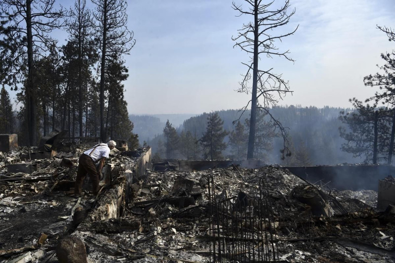
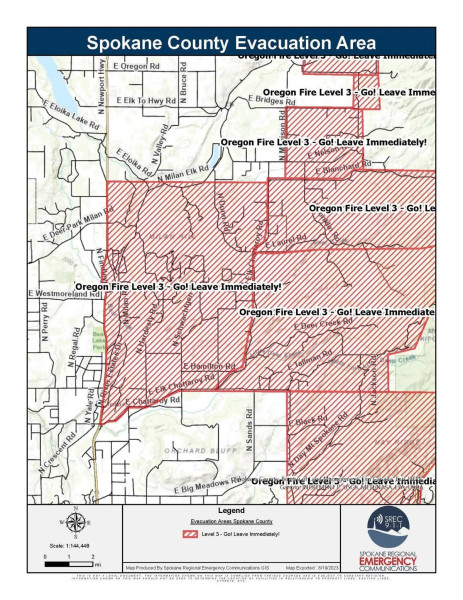
By August 2, 2026, the Old Trails Fire had become a searing symbol of the escalating wildfire crisis in Spokane. The fire, which began on August 1, 2026, near Old Trails Road and West Euclid Road, quickly grew to an astounding 2,500 acres, as strong winds pushed it towards residential neighborhoods [1, 2, 3]. The blaze was so intense that it crossed the Spokane River and pushed into Riverside State Park. The fire forced residents to evacuate rapidly, and authorities issued Level 3 (Go Now!) evacuations for areas north of Newkirk Road and south of Trails.
Residents were warned to avoid Francis Avenue, a key evacuation route, to allow safe passage for those fleeing the fire. The fire was so intense that it prompted the state to declare a state of emergency, mobilizing resources to combat the blaze and support affected communities [3, 8].
Mapping the Crisis: Real-Time Updates and Evacuation Alerts
In the face of the Old Trails Fire, real-time tracking and mapping became invaluable tools for residents and emergency responders. The live Spokane fire map, provided by the National Interagency Fire Center (NIFC) and other agencies, offered detailed information on fire perimeters, Red Flag Warnings, and the nearest active fires [4, 5, 7, 8].
Satellite imagery, including data from LANDSAT and SOF, contributed to the real-time fire map, showing the extent of the blaze and its impact on the region [5, 7, 8]. The map not only tracked the fire's progress but also provided evacuation alerts, ensuring that residents could make informed decisions about their safety [6, 7, 8, 9].
In addition to the Old Trails Fire, the Spokane area faced multiple other active wildfires, as displayed on the interactive Spokane fire tracker. This tool allowed residents to monitor wildfires across eastern Washington, including the shrub-steppe and forests around Spokane, enhancing situational awareness and preparedness [4, 5, 6, 7, 8].
Community Response and Emergency Preparedness
As the Old Trails Fire continued to rage, the community of Spokane rallied in support. Evacuation shelters were set up for those displaced by the fire, providing a safe haven for residents and their pets [9, 10].
The Spokane Police Department and other local agencies worked tirelessly to manage evacuations, coordinate relief efforts, and disseminate critical information to the public. The department's proactive measures, including the use of live maps and real-time updates, helped to ensure that the community remained informed and prepared in the face of the ongoing crisis [9, 10].
As the fire situation continues to evolve, the community's focus remains on containment and recovery. The Old Trails Fire has underscored the importance of emergency preparedness and the value of real-time information in managing wildfire crises. For Spokane residents, the next critical step will be the continued monitoring of the fire's progress and the efforts to restore their beloved city to normalcy.
How does this story make you feel?
 Up next · WorldShocking Powerball Draw: Did anyone win the $718.7 Million Jackpot? Check Today's Numbers!