As of Sunday, January 18, 2026, Massachusetts is experiencing a significant winter storm, with snow totals accumulating across the state, particularly in the Boston area. The storm began on Sunday afternoon and is expected to taper off by 8 to 10 a.m. on Monday. So far, the Boston region and its surrounding areas have seen substantial snowfall, with some parts of southeast Massachusetts receiving more than 6 inches of snow.
According to the latest weather reports, the Boston area has accumulated up to 6.5 inches of snow in some regions. The National Weather Service has been monitoring the situation closely, providing updates on snow totals and accumulation data. The impact of this storm has been felt most strongly in eastern Massachusetts, where several counties have reported totals at or near 6 inches. This has led to significant snow accumulation and potential travel disruptions, highlighting the importance of being prepared for winter weather conditions.
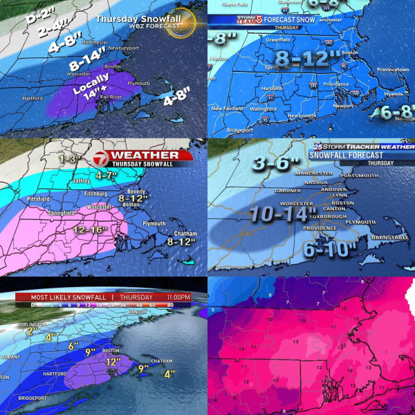
The weather in Boston has been challenging, with snowfall totals varying widely across different parts of the city. Some areas have seen significant accumulation, while others have received less, showcasing the localized nature of snowstorms. The snow totals and accumulation data are essential for travel safety, emergency preparedness, and winter activities like skiing and snowboarding.
As the storm continues to move through the region, residents are advised to stay informed about the latest weather forecast and snow totals to ensure safety and preparedness. The storm is expected to bring additional snowfall through the night, with some areas potentially receiving 1-3 inches of snow across Boston and southern New England.