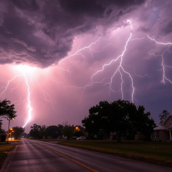
Severe Thunderstorm Watch: Kansas City Braces for Overnight Storms
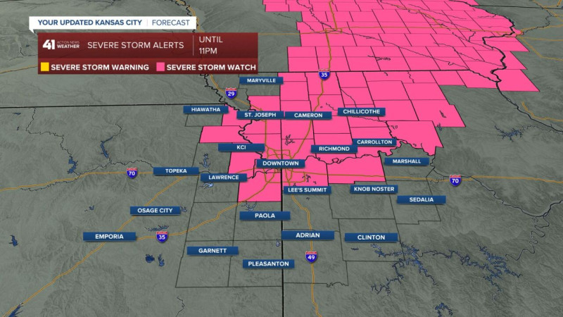
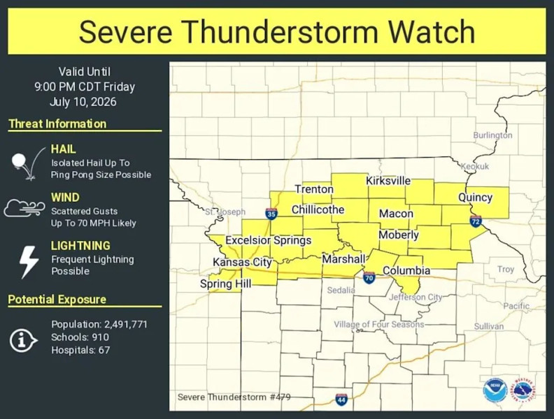
The National Weather Service has issued a severe thunderstorm watch in effect until 4 a.m. Monday, encompassing the Kansas City metro area and portions of eastern Kansas and west central Missouri. The impending storm promises large hail, damaging wind gusts, and potential tornadoes, disrupting the area's early morning hours.
Understanding the Difference: Watch vs. Warning
To navigate the storm safely, it's crucial to understand the distinction between a severe thunderstorm watch and a severe thunderstorm warning. A watch means conditions are favorable for severe thunderstorms to develop. A warning, however, signifies that a severe thunderstorm is occurring or imminent, requiring immediate action.
Storm Timeline and Potential Impacts
The severe thunderstorm watch in Kansas City is expected to persist until 4 a.m. Monday, with the first round of storms potentially bringing large hail and damaging winds. Forecasters warn of a second round of storms later on, increasing the risk of overnight flooding. Areas in eastern Kansas and west central Missouri face similar threats, with Kansas City at the heart of the concerned region.
The Science Behind the Storms
Severe thunderstorms form when warm, moist air collides with cool, dry air. This collision creates instability in the atmosphere, leading to the rapid development of thunderstorms. The severe thunderstorm watch for Kansas City indicates that these conditions are present and likely to produce storms capable of causing significant damage.
The National Weather Service uses advanced radar and satellite technology to monitor these conditions, issuing watches and warnings to keep the public informed.
The Kansas City weather has a history of severe thunderstorms, with the area experiencing numerous tornadoes and high-wind events in recent years. This watch is a reminder of the region's vulnerability to such weather events, emphasizing the importance of preparedness and vigilance.
"Staying informed and having a plan in place is crucial for navigating severe weather events safely," advises the Kansas City weather expert.
The National Weather Service has issued severe thunderstorm watch 154 in effect until 4 a.m. CDT Monday for the following areas in Kansas.
Throughout the night, residents are advised to remain alert, monitor local weather updates, and have emergency supplies on hand. The Kansas City weather community is encouraged to stay tuned for further developments and potential tornado warnings as the storm progresses.
For this severe thunderstorm watch.
How does this story make you feel?
 Up next · WorldFox 4 Weather: A Stormy Symphony in North Texas