Mississippi Tornado 2026: A Night of Fury
The storm was a beast unleashed, a writhing serpent of winds that tore through Mississippi in early May 2026, leaving a trail of destruction and fear in its wake.
Severe Weather Alerts and Preparedness
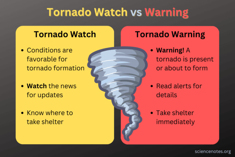
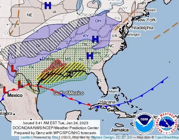
In the heart of Mississippi, the National Weather Service and Storm Prediction Center had been diligently monitoring an impending storm. On Wednesday, WDAM 7's First Alert Weather issued a severe weather alert for the Pine Belt region, heightening awareness among residents. The storms were not just a passing shower; they packed a punch, with tornado warnings issued as the day wore on. By 1:30 PM, severe storms were barreling into western Mississippi, with Chief Meteorologist Patrick Bigbie tracking the developments live, issuing urgent warnings to the public.
The weather service had initially flagged an Enhanced Risk for severe weather, but the warnings were pulled back slightly as the day progressed, though the threat remained very real. Residents were on high alert, following the advice of local meteorologists. Bigbie reported that a tornado was on the ground between Forrest and Lamar counties, prompting a warning for Jefferson Davis County until 9 p.m. This was no ordinary storm—it was a beast to be reckoned with.
The Tornado's Path of Devastation
As the storm surged through Mississippi, a confirmed large tornado carved a path of destruction in Franklin County, triggering a Tornado Emergency. Homes were destroyed, and people were trapped, adding to the chaos and fear. The tornado left behind a scene of devastation, with uplifted debris and ruined properties, a grim reminder of nature's raw power.
In south Mississippi, Friday morning storms left behind some damage, particularly at a John Deere dealership in Laurel. Surveillance footage captured the moment a tornado-like storm damaged the business' sign, offering a chilling glimpse into the storm's fury. The storm's path was relentless, leaving a trail of wiped-out buildings and uprooted trees. People who could not evacuate were trapped, their lives hanging in the balance.
Community Response and Future Preparations
The community, though battered, responded swiftly. Emergency services were on the ground, coordinating rescue efforts and providing assistance to those in need. The interactive map provided by the National Weather Service, tracking storm damage reports nationwide, was a lifeline for responders and residents alike. People could check if a tornado had hit their area, the size of the hail, the number of downed trees, and road closures due to flooding.
The city of Jackson braced for heavy rainfall, with the National Weather Service forecasting 3 to 5 inches of rain, leading to localized flooding. This added to the challenges faced by emergency responders, making their job even more perilous. Despite the chaos, the community came together, showcasing resilience in the face of adversity. People knew the drill, having faced similar storms in the past. They were prepared, yet the storms this time were unlike anything they had seen before.
As the storm subsided, the focus turned to rebuilding and preparing for the next inevitable storm. The community had weathered the tempest, but the memory of the tornado's fury lingered, a haunting reminder of nature's unpredictable wrath.
The tornado of 2026 had left a deep mark on Mississippi, a stark reminder of the region's vulnerability to severe weather. As the community begins to rebuild, there is a renewed sense of determination. The next time the storm hits, Mississippi will be ready.
“We've faced worse,” said one resident, his voice steady with resolve. “But this time, we’re stronger.”
How does this story make you feel?
 Up next · WorldMississippi Tornado Warning Shocks Residents, Prompts Emergency Actions