As of 10:00 PM CDT on July 20, 2026, Tropical Storm Bertha is edging closer to the Gulf Coast of the United States, bringing with it the threat of heavy rain and potential flooding for coastal areas stretching from Florida to Texas.
Tracking the Storm's Path
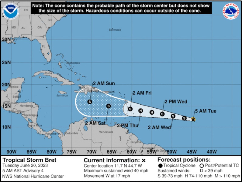
Currently, the storm is situated near 28.2oN, 85.9oW, with maximum sustained winds of about 40 mph and a minimum central pressure of 999 mb. The National Hurricane Center (NHC) has issued a tropical storm warning for portions of the Northern Gulf Coast, advising residents to prepare for potential impacts.
While the storm's movement has been slow, it is expected to stay near or along the Northern Gulf Coast over the next few days, pushing west toward Texas. The slow-moving nature of the storm could lead to prolonged periods of heavy rain, which may result in life-threatening flash flooding and storm surges for low-lying coastal areas.
To track the storm's progress, residents can refer to various tracker resources, including the NHC's cone of uncertainty, which provides a forecast of the storm's potential path and areas under watch. Additionally, The Weather Channel and other weather services offer detailed maps and updates on rainfall and storm impacts.
Historical Context and Previous Bertha Incidents
This is not the first time a storm named Bertha has impacted the Gulf Coast. The name Bertha has been used for several significant weather events over the years, each with its unique characteristics and impacts. For instance, Hurricane Bertha (1996) was a Category 3 hurricane that caused significant damage in the Caribbean and North Carolina.
More recently, Tropical Storm Bertha (2020) formed in the Gulf of Mexico in May 2020, making landfall in South Carolina and causing minor damage[1,2]. Historically, storms named Bertha have shown a tendency to form in the Gulf or the Atlantic and move toward the Eastern Seaboard, but the exact path and intensity can vary widely[1,2,8,10].
"Bertha was a short-lived pre-season tropical storm that formed just off the coast of the southeast U.S. and made landfall in South Carolina. The storm produced mostly minor damage"
Current Season and Potential Impacts
Bertha is the second named storm of the 2026 Atlantic hurricane season, which has already seen its fair share of tropical activity. The current storm is expected to bring heavy rainfall and potential flooding to coastal areas from Florida to Texas[11,14].
Residents and emergency management officials are advised to stay vigilant and follow the NHC's and local weather service updates closely. Early preparation can mitigate the risks associated with heavy rainfall, high winds, and storm surges. The slow-moving nature of the storm means prolonged periods of bad weather, increasing the likelihood of storm-related incidents[13,14,15].
In the meantime, residents of the Gulf Coast are bracing for the storm. Emergency services are on standby, and local officials are urging residents to stock up on supplies and stay informed through official channels. The next few days will be critical as Bertha inches closer to land, potentially bringing significant weather impacts to the region. Stay tuned for further updates on the storm's progress and any changes in its forecast path[1,13,14].