A volatile severe weather outbreak is unfolding across Minnesota, with the Twin Cities metro under an extended Tornado Watch until 11 p.m. Monday. The National Weather Service warns of potential "strong tornadoes" and baseball-sized hail as multiple storm waves target southeastern Minnesota and western Wisconsin
Key developments:
-
Tornado warnings issued for St. Cloud, Becker, and Fairmont areas, with confirmed rotation west of Fairmont
-
Double storm threat: Initial morning storms brought hail, followed by a dangerous afternoon/evening wave (4-7 p.m.) capable of producing long-track tornadoes
-
Preparations escalate: Minneapolis closed non-emergency services early, while multiple school districts dismissed students ahead of the storms
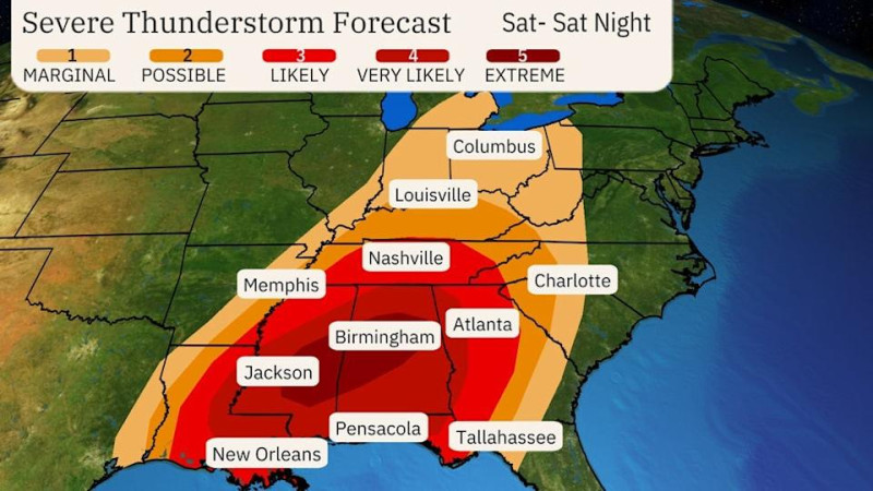
The Storm Prediction Center's rare Level 4/5 "moderate risk" zone covers 5 million people, including Minneapolis, Rochester, and Mankato. Meteorologists emphasize the potential for "intense, long-lived tornadoes" fueled by a strengthening low-pressure system Real-time radar shows storms organizing along a surface front, with 60+ mph wind gusts already reported in Jackson County
Residents are urged to shelter in baseries or windowless interior rooms if warnings are issued. The FOX 9 Weather App and NWS alerts provide critical updates as conditions rapidly evolve

