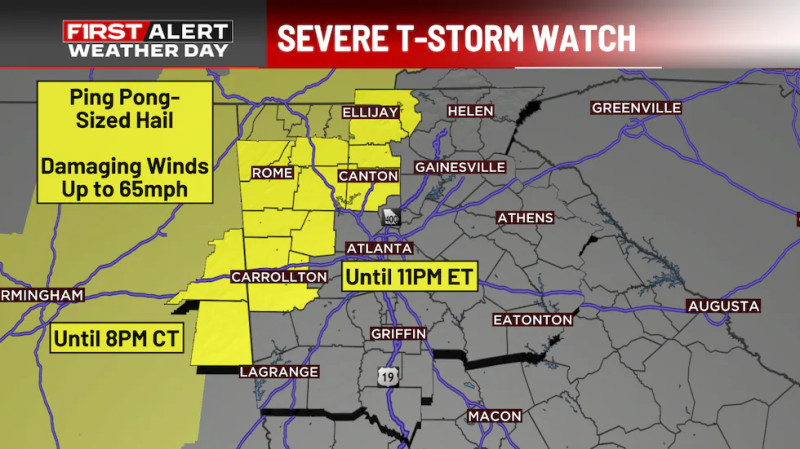
Storm Clouds Gather Over NYC: A Severe Thunderstorm Watch Looms
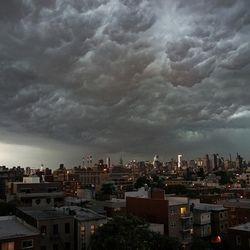
In the fluorescent glare of the briefing room at the National Weather Service, meteorologists are hunched over their screens, eyes flicking between radar displays and weather models. The hum of phones buzzing in pockets is a constant reminder of the tension outside, as New York City braces for a severe thunderstorm watch that has cast a pall over the city's usual buzz.
Meteorologists Sound the Alarm: What to Expect from the Storm
The National Weather Service has issued a severe thunderstorm watch for the New York City metro area, warning residents to prepare for strong winds, heavy rain, and potential hail. The watch, which covers much of the tri-state area, is in effect until 9:00 PM, and the threat level is listed as a Level 2 out of 5. This means that while the storm is not expected to be catastrophic, it poses a significant risk to public safety and infrastructure.
Meteorologists have warned of the potential for flying debris and power outages as strong winds whip through the city. The heavy rain could also lead to localized flooding, particularly in low-lying areas and near waterways. Residents are urged to secure outdoor objects and stay indoors if possible, especially during the peak hours of the storm.
Public Safety Measures: How NYC is Preparing
The city's emergency management teams have been activated, with Notify NYC issuing alerts to keep residents informed about the developing situation. Public transportation services are on high alert, with plans in place to reroute or suspend services if necessary.
Schools and businesses are also taking precautions, with many closing early or implementing emergency protocols. The New York Police Department (NYPD) and the Fire Department of New York (FDNY) have increased patrols and are ready to respond to any emergency calls.
In a statement, a spokesperson for the city's emergency management office said, "We are monitoring the situation closely and have all necessary resources on standby. Our top priority is the safety of our residents, and we urge everyone to stay vigilant and follow the recommended safety guidelines."
The Science Behind the Storm: What's Driving the Severe Weather
The severe weather is being driven by a complex interaction of atmospheric conditions, with a low-pressure system moving in from the west and a warm, moist air mass colliding with cooler air from the north. This convergence of weather patterns is creating the perfect conditions for thunderstorms to develop and intensify rapidly.
In the face of this severe thunderstorm watch, New Yorkers are reminded of the city's history with severe weather. In recent times, the city has experienced a series of storms that have caused significant damage and disruption. The most recent severe thunderstorm watch highlights the ongoing need for vigilance and preparedness in the face of extreme weather events.
The severe thunderstorm watch is a stark reminder of the power of nature and the importance of staying informed and prepared. As the city braces for the storm, residents are urged to stay vigilant and follow the recommended safety guidelines. With the storm's potential for strong winds, heavy rain, and hail, the coming hours will be critical in determining the extent of the impact on the city and its residents. The city's emergency management teams are on high alert, ready to respond to any developments as they unfold. The National Weather Service continues to monitor the situation closely, providing updates and advisories as the storm progresses. As the city navigates this weather challenge, the resilience and preparedness of its residents will be key to minimizing the impact of the storm.
How does this story make you feel?
 Up next · WorldNATO Bracing for Putin's Next Move: Is War Imminent?