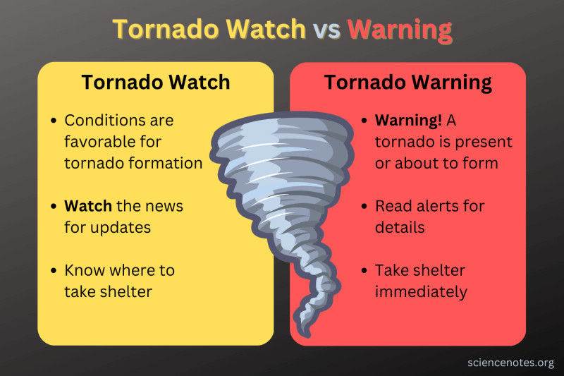
Tornado watch issued for Twin Cities and 33 counties
The Storm Prediction Center issued a tornado watch covering the Twin Cities and 33 counties in Minnesota and Wisconsin, with warnings for areas north and south of Minneapolis‑St. Paul.
Key points
- Tornado watch covers Twin Cities and 33 counties until 9 p.m.
- Threats include tornadoes, hail up to 1.5 inches, wind gusts up to 70 mph.
- Separate warnings issued for north and south of Minneapolis‑St. Paul, including Cannon Falls.
- Atmosphere capable of EF‑2 tornadoes with winds up to 135 mph.
- Tornadoes not guaranteed but a strong threat is expected.
On Wednesday, the Storm Prediction Center issued a tornado watch that covers the Twin Cities and 33 counties in Minnesota and Wisconsin, remaining in effect until 9 p.m. The watch cites threats of tornadoes, hail up to 1.5 inches and wind gusts reaching 70 mph.
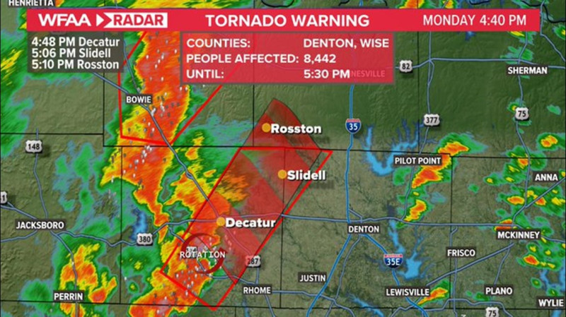
Separate tornado warnings were released for areas north and south of Minneapolis‑St. Paul, including a warning for Cannon Falls as a storm with rotation moved into the region.
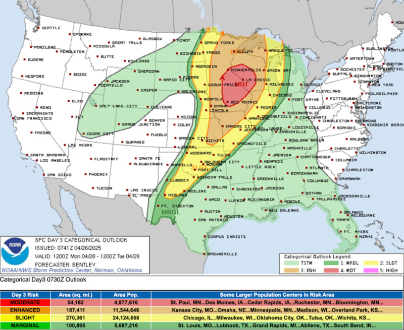
Weather officials described Minneapolis as being in the “bull’s‑eye” of a strong tornado threat expected to begin late Wednesday afternoon as a storm system moves from the Rockies into the Central Plains and Upper Midwest.
The atmosphere is assessed as capable of producing EF‑2 tornadoes with winds up to 135 mph, though tornadoes are not guaranteed.
Your questions, answered
What areas are covered by the tornado watch?
The watch covers the Twin Cities and 33 counties in Minnesota and Wisconsin until 9 p.m.
What hazards are included in the watch?
The watch cites threats of tornadoes, hail up to 1.5 inches, and wind gusts reaching 70 mph.
Which town received a separate tornado warning?
Cannon Falls received a separate tornado warning as a storm with rotation moved into the region.
How does this story make you feel?
Topics
 Up next · WorldSpain declares three days of mourning after high‑speed train crash kills at least 68