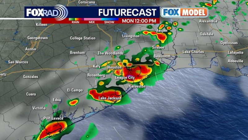
Severe weather is sweeping through the Houston area this Monday morning, prompting the National Weather Service to issue a Severe Thunderstorm Warning for Harris, Liberty, and Chambers counties until:3 a.m. Residents in these areas should be prepared for wind gusts up to mph and hail as large as quarters, with the heaviest rain expected to move from Houston and Sugar Land toward the coast by midday.
A Flash Flood Warning is also in effect for Harris, Brazoria, Fort Bend, and Galveston counties until:1 a.m., with rainfall totals already reaching two to five inches in some locations. Areas most at risk for flash flooding include Pearland, League City, Baytown, Missouri City, Friendswood, and the Greater Eastwood neighborhood.
The current system is expected to shift east later today, but forecasters warn that additional rounds of showers and storms are possible through midweek. Rain chances will persist, especially along the coast, and another weather disturbance could bring more storms by Wednesday.
Travelers and commuters should monitor local updates and avoid flooded roadways. The unsettled weather pattern is likely to continue into the weekend, so keep umbrellas and rain gear handy as Houston heads into the last week of April.