Topics
U.S. Geological Survey
The U.S. Geological Survey (USGS) is a federal agency that monitors and reports on seismic activity worldwide. On October 16, 2026, the USGS recorded a 6.9‑magnitude earthquake near Kamchatka, prompting Japan’s Meteorological Agency to issue and then withdraw an erroneous 9.9‑magnitude alert. This event follows earlier USGS reports of significant quakes, including a 7.4‑magnitude strike in Colombia on August 10, 2026.
What to know
- JMA issued an emergency warning for a magnitude 9.9 tremor at 12:40 p.m. local time on Oct. 16. Oct 16
- The warning was withdrawn at 12:48 p.m., eight minutes after issuance. Oct 16
- The 7.4 magnitude earthquake had its epicenter in San Jose del Palmar, Choco province, about 250 miles west of Bogota. Aug 10
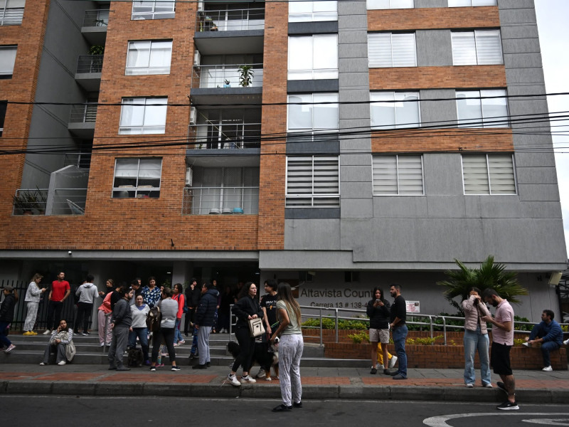
- Tremors were felt across western Colombia and reached the border with Venezuela, prompting evacuations in several cities including the capital. Aug 10
- The quake measured 7.4 magnitude and was recorded at a depth of about 107 km by the USGS. Aug 10
Timeline
- Oct 16, 2026
- Aug 10, 2026
- Aug 10, 2026
- Mar 2, 2026
- Feb 23, 2026
- Jan 20, 2026